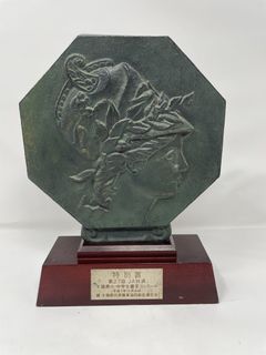






































Philippine Islands - PALAWAN NORTH 1899 Original Antique Map
PHP 2,250

Lightly used

Mailing

Bacolod City
Condition
Description
Posted
1 month ago
- Old map showcasing the Philippine islands. - Great for collectors or history enthusiasts. - Shows geographical details and place names. - A fascinating piece of cartography. Original 1899 Philippines Islands Map of NORTH PALAWAN Title:- " Norte Paragua " Publication & Date:- issued in Washington, USA 1899-1900 for " Atlas de Filipinas - Colleccion de 30 Mapas Trabajados por delineantes filipinos bajo la direccion Del p.jose Algue, S.J. Director Del Observatorio De Manila -- Atlas of the Philippine Islands" " After the Spanish-American War of 1898, at the Treaty of Paris, The Philippine Islands were sold by Spain to the U.S. for $20 million to cover infrastructure owned by Spain. A new series of maps, of the islands, were being prepared at that time by the Jesuit Observatory in Manila, supervised by its director, José P. Algué. These maps were voluntarily transferred to the Americans, who published them as this atlas." Description:- Attractive and well detailed. Inset of Puerto Princesa - suitable for framing. Condition & Size:- Clean and good condition - printed area 13 "x 14" - plus small margins. Printed color
Delivery
Mailing & Delivery
Meet the seller
Kubo Art & Antiques
Profile details
5.0
7 reviews
4 years
on Carousell
5.0

thank you so much cool seller
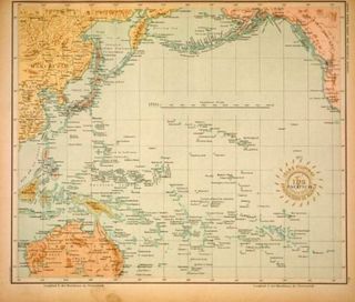
Antique Pacific Ocean Map - Japan, Australia, Philippines
PHP 1,250

Easy to deal with

Philippine Islands - CATANDUANES - 1899 Original Antique Map
PHP 1,450

What others also search for
Similar listings


jasmin.malaca.flores.071013
3 days ago

rare21
3 days ago









foxsquaredeals
11 days ago



edszz
13 days ago










rare21
20 days ago


mighthor0526
21 days ago

edszz
23 days ago
mighthor0526
23 days ago


artifact_alcove
23 days ago

honhonliz
25 days ago






tommyfindstagum
27 days ago





sinaunang_gamit
28 days ago



sinaunang_gamit
29 days ago



tommyfindstagum
1 month ago